Aden Colony (prior to 1937 known as 'Aden Settlement') is to differ from Aden Protectorate. Both were separately governed. Aden Colony consisted of the port of Aden and its immediate surroundings (an area of 192 km2 (74 sq mi) and was directly controlled by the British resp. prior to 1937 by British India. Aden Protectorate compromised all areas of South Arabia which were under formal protection of Aden Colony. The area of South Arabia was controlled by several tribes, sheikdoms, sultanates and families. So the progress of getting the several political entities under formalized protection was slow. The last protection treaty was signed 1954! From 1937 the Protectorate itself was divided into Western and Eastern Protectorate. Every part have had its own political officer. This map shows the border between Western and Eastern Protectorate:

This map is useful to see the division of Eastern Protectorate (Wahidi, Qaiti, Kathiri and Mahra):

This map is useful to see the division of Western Protectorate. It might be impossible to represent all entities. The minor ones should be merged with majors ones. Maybe following four should be included: Lahej, Fadhli, Aulaqi and maybe Beihan:
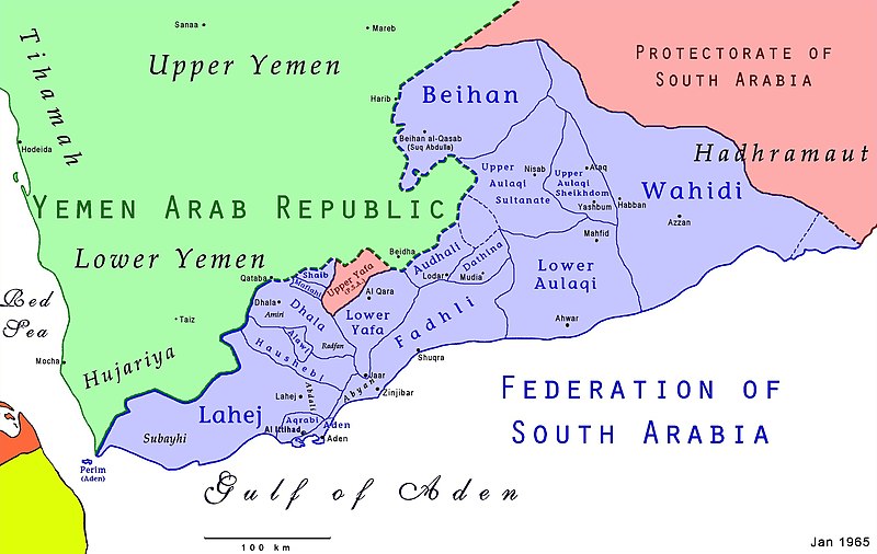
Here you can see the border between Aden Colony and (Western) Aden Protectorate:

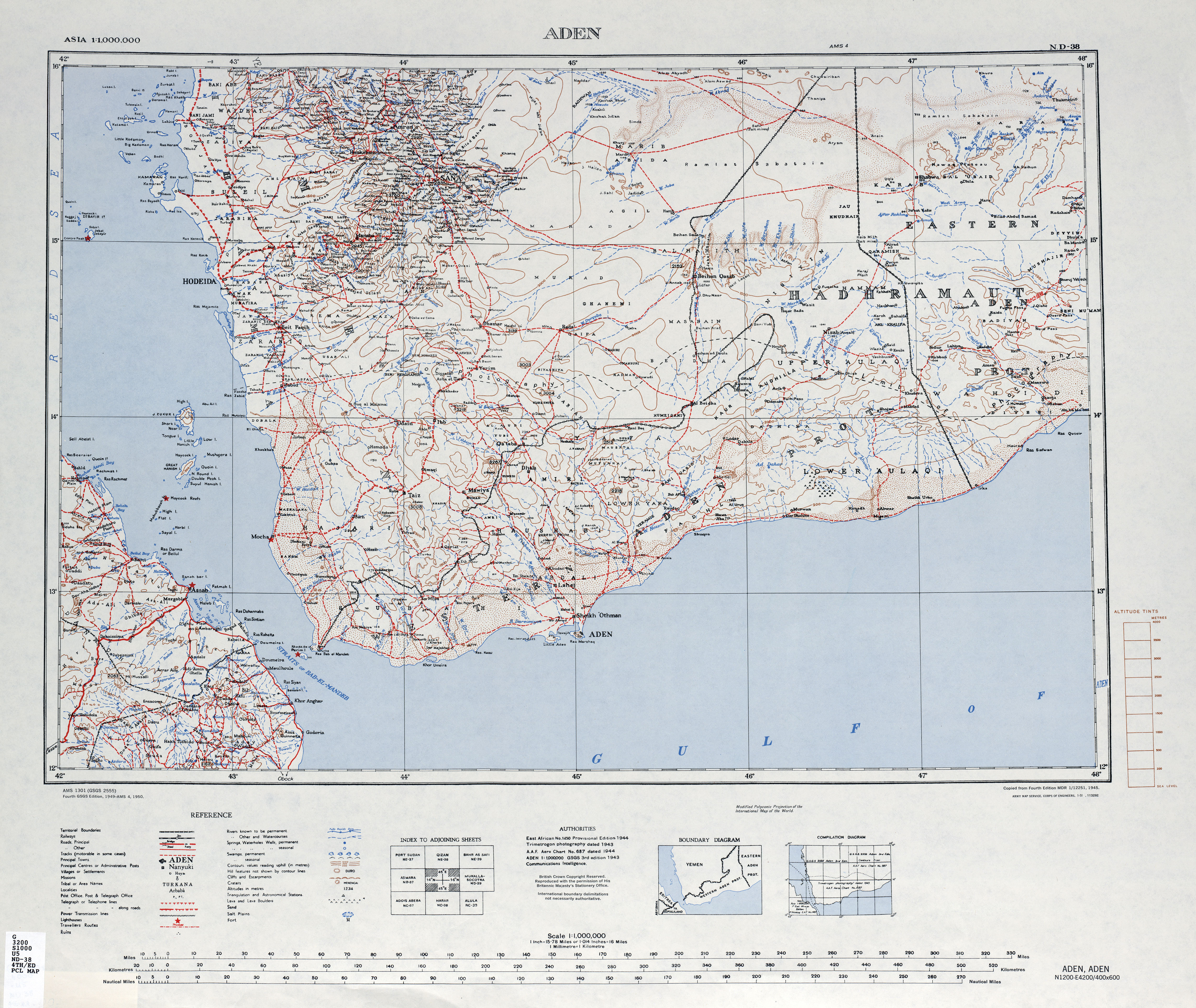
Here's a very detailed map from the 1940s: http://www.lib.utexas.edu/maps/imw/txu- ... 4th-ed.jpg
My suggestions:
- separate Aden Colony from Aden Protectorate
- redraw border of Aden Protectorate into its Eastern and Western division
- divide Aden Protectorate into its major political entities and compromise the minor ones

